Living in the city has its pluses and minuses. Where do you go when you need to get away from it all, but only have time to escape for an hour or three? If you want to hear birds chirping and the sound of voices and cars all but disappears?
Today, Cities in Pixie Dust takes you on a short “walkabout” through the Wissahickon Creek trails in the northwest corridor of the city. Nestled in around where Mount Airy, East Falls, and Roxborough all meet up is a trail which takes you to the infamous Kelpius cave. Johannes Kelpius was a hermit (Hermit’s Lane was named after him) who emigrated from Germany to settle in the Wissahickon area in 1694. He was a leader in the mysterious Rosicrucians, and rumour has it that they chose the beautiful Wissahickon area to await out the end of days until the end of the world. That didn’t go according to plan, and we’re all still here today living in the world. But even today, the cave where Kelpius dwelled is a little remote (despite it being smack in the middle of a populated city) and isolated from the everyday person, or even the recreational hiker/biker/jogger. Most people go about their hiking, biking and horse riding on the various Wissahickon trails without ever coming across it.
Below is a Google satellite map overview of the Wissahickon near the Walnut Lane Golf Course. The dark curvy line which breaks up the trees is the Wissahickon Creek (you might need to scroll a little to the right to see more of it). Forbidden Drive runs along the south side of the Wissahickon Creek (on the Roxborough side) until you hit Lincoln Drive. The golf course runs from Monastery Avenue to around Hermit Lane. Our walk started in the Walnut Lane Golf Course and roughly followed the shape of the edges of the golf course intermittently during the trail. The trails you follow on this walk are a bit higher up and on rockier footings than Forbidden Drive. Some of the terrain can be a little challenging if you are out of shape or have bad knees, ankles, etc. But this is not the most challenging terrain back on the Wissahickon by any means.
Overview map — you can scroll around within google maps to play around with different settings.
View Larger Map
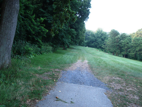
The beginning of our walk (below), but yours might start elsewhere…
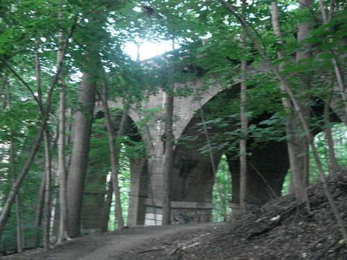
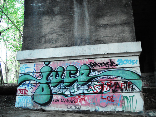
The walk we took goes underneath two bridges, the Walnut Lane bridge and the Henry Avenue bridge. Both are a little bit creepy to walk under, especially as it gets darker outside. Both have a nice assortment of artistic graffiti which is much more complex than the average tagging. The remoteness and stealth of the bridges make a good spot for a little more attention to detail. Walnut Lane might have the artistic edge – not only does it boast tags from up and coming artists like juce, but it’s got an arched style with a lot of light that makes for artistic photos on your end.
Underneath the Henry Ave. bridge can get pretty dark and you really need a tripod or a flash to get good shots.
Finding the Kelpius cave is tricky if you don’t know where you’re going. I happened upon it completely by chance when deciding to take a particularly windy and narrow-looking path right after the trail I had been following (which is popular with mountain bikers along the Roxborough side) met up with the wider trail coming down from Hermit Lane.
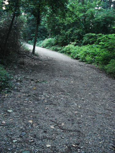
The trail at the above right is the one you want to follow if you’re coming Southeast from Roxborough trails, or straight down from Hermit Lane (left).
Below is a Google map of another spot where you can easily start the quest for the Kelpius cave… Hermit Lane, just off Henry Avenue. We did not start here, but did exit here on a few occasions.
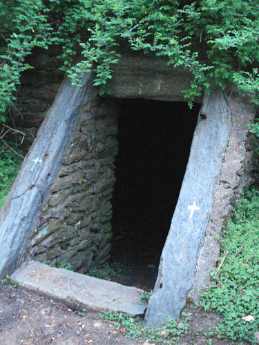
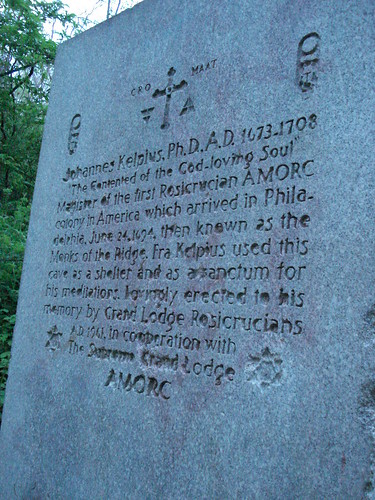
And here it is, in all its glory … the Kelpius cave and its landmark.
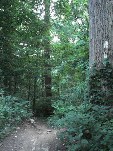
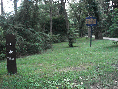
If you follow back towards the Hermit Lane trail, or start/complete your walk there, you’ll see these signs marking the trail (below).
However, if you choose to continue your walk along the path of Kelpius, you have lots of other potential “exit” spots. While on a map, the distance from point A to B to C to D looks very small, remember you’re walking on windy trails that turns a map mile into 2 or 3 because of rocks and switchbacks (small, but they add distance). Make sure you have ample time to get yourself out of the woods before it gets too dark at night, or carry a flashlight. It gets darker in the woods earlier than on the street and there are no streetlights on the trails, while there are overhead streetlights on Forbidden Drive. Perhaps the next logical exit of this hike would be to follow the Kelpius trail to its end, where you will have a steep descent down to the Wissahickon right alongside Lincoln Drive, past Rittenhouse Town. From there you can continue to the 100 Steps, or to the Falls Bridge. It’s possible to start at either of these points and find the trail in reverse, but it’s a pretty steep ascent at a place that doesn’t look like a trailhead to most passersby, especially during the green and lush spring and summer months.

